.webp)
Proving Resilience

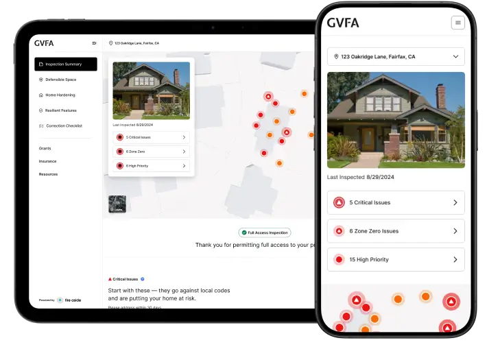
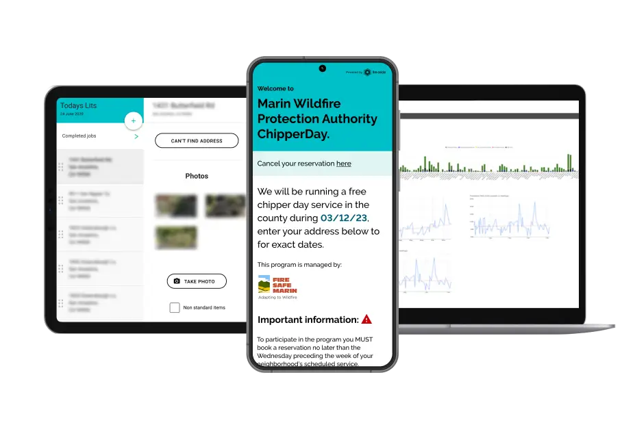
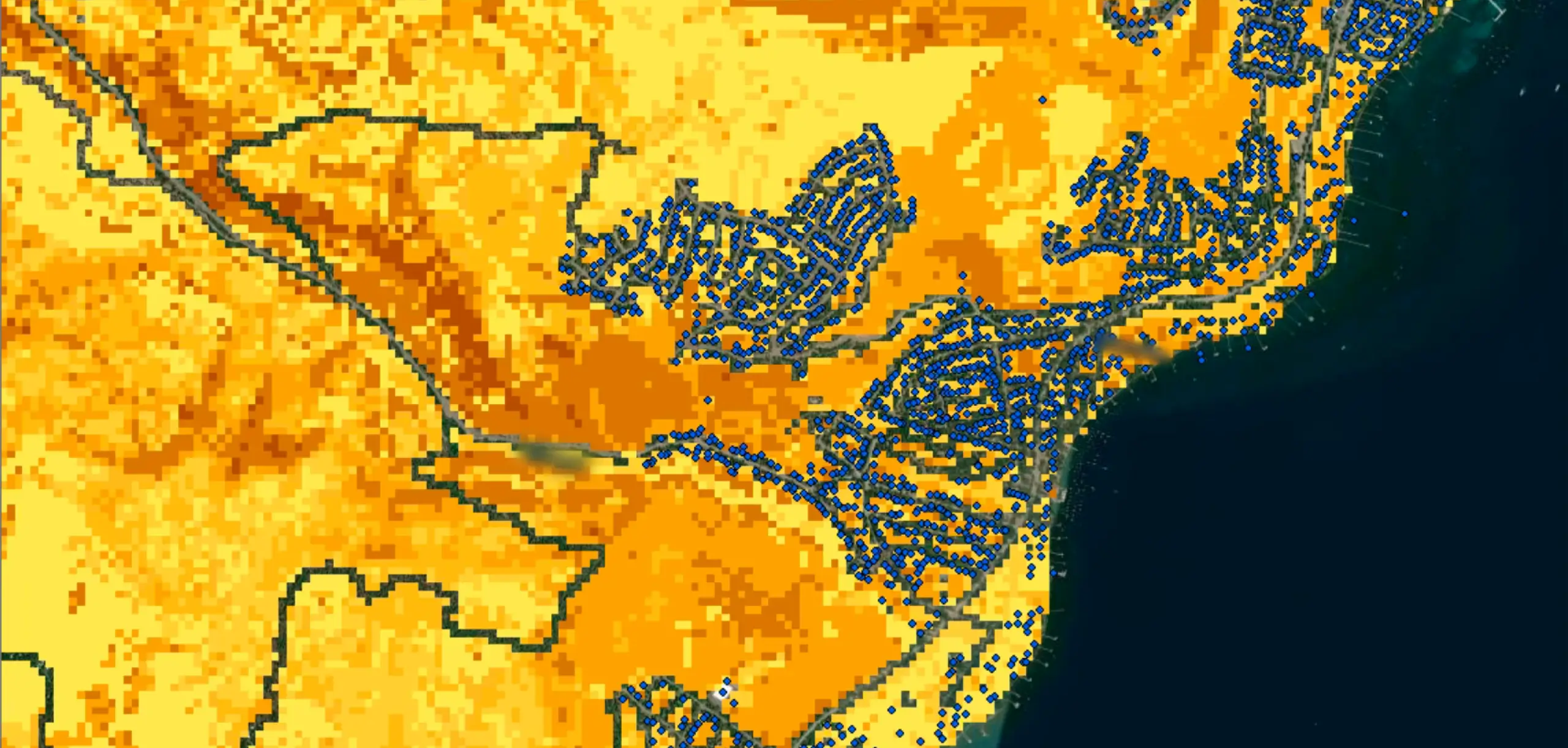
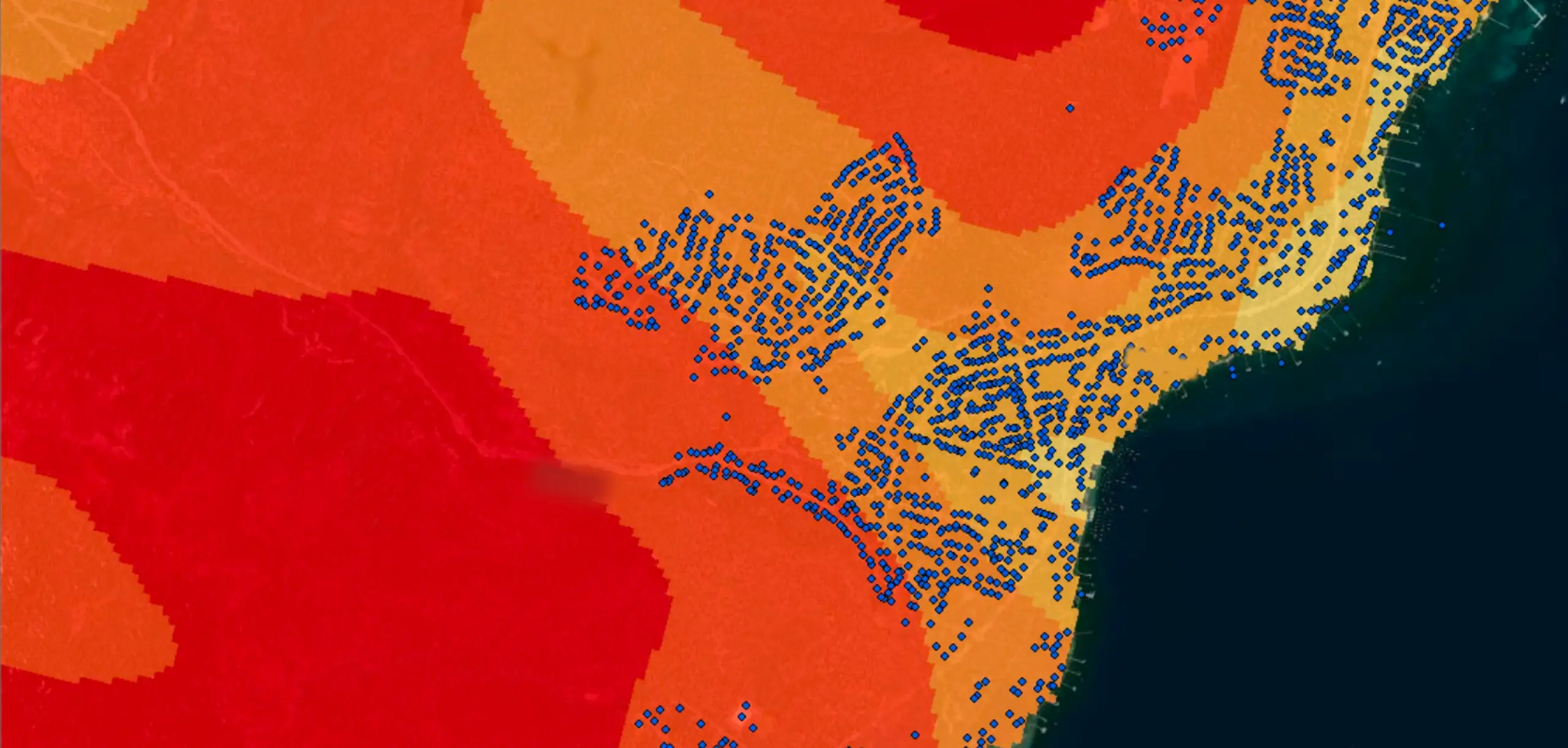
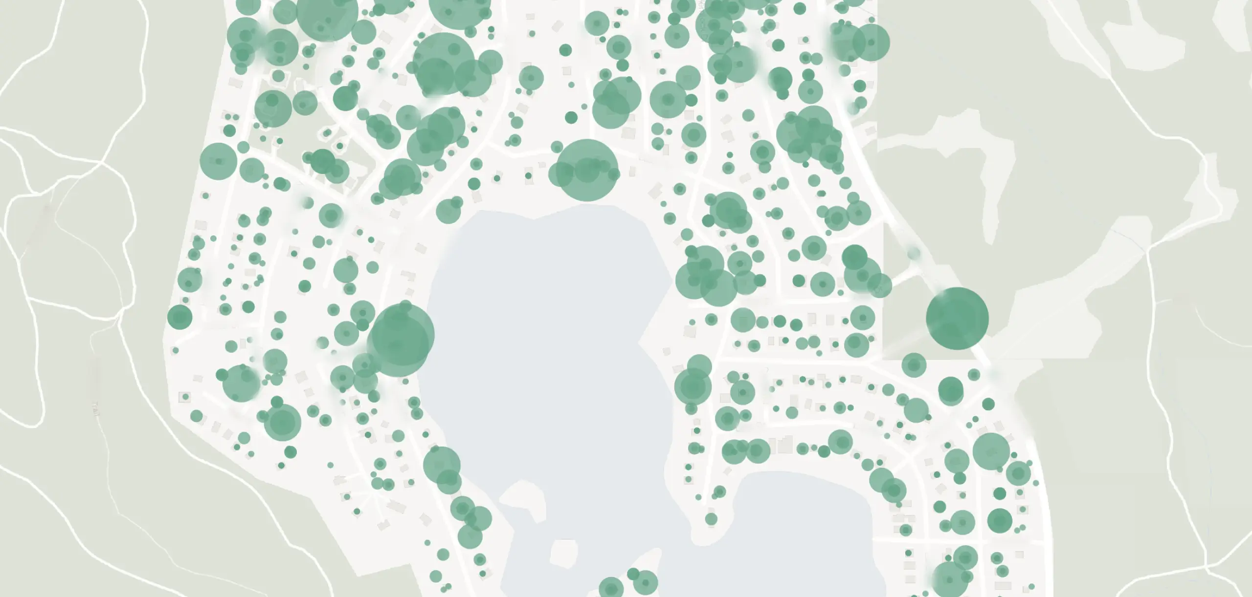
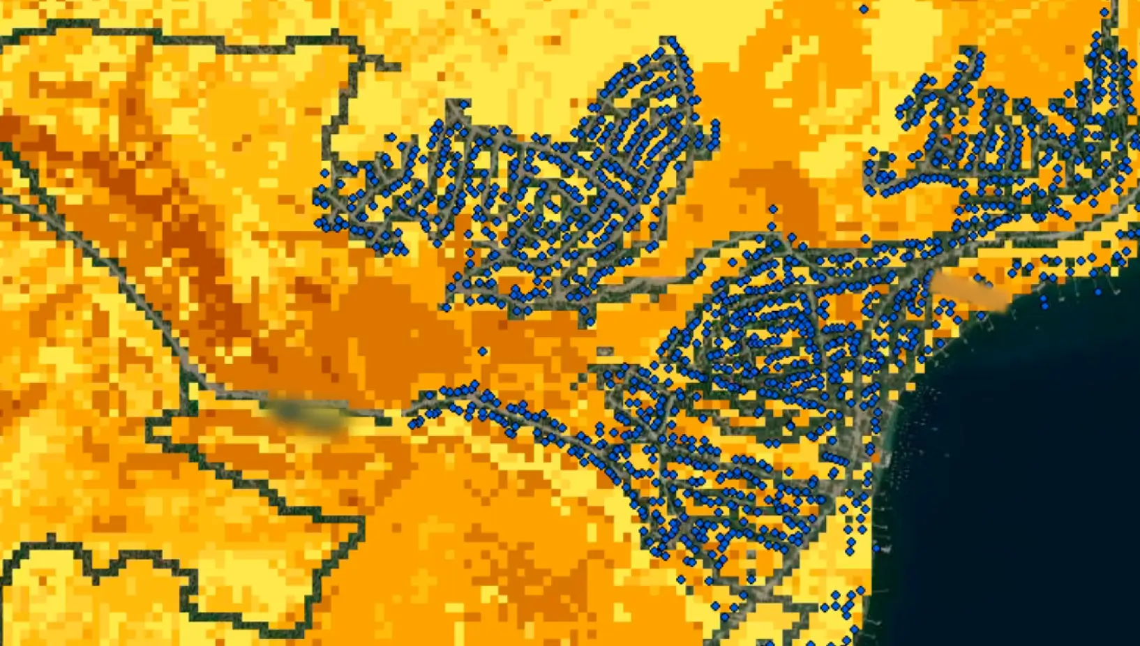
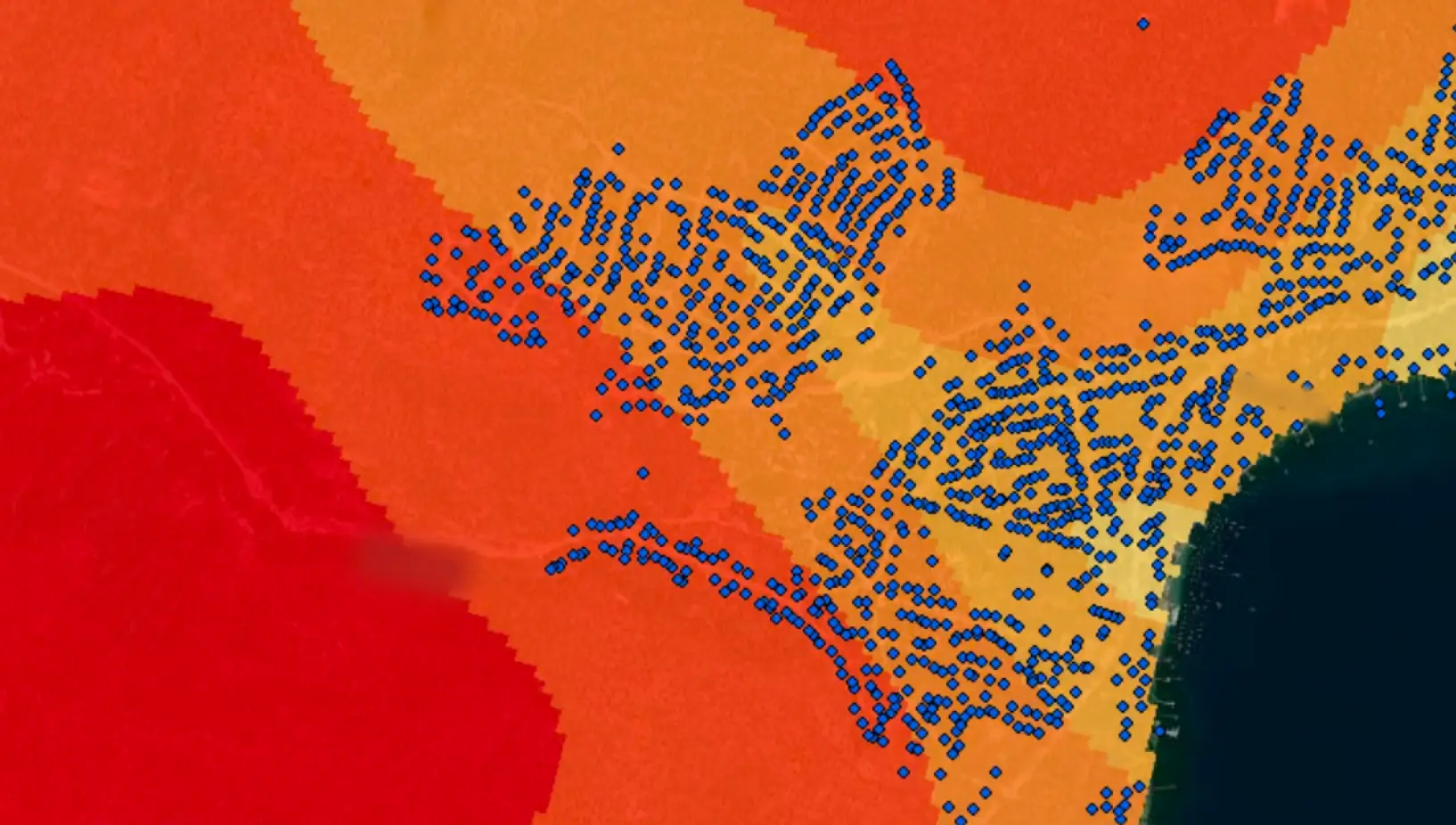
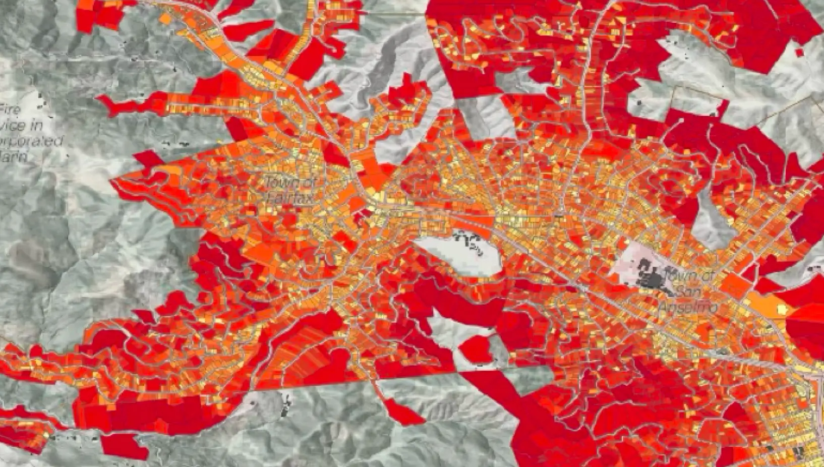
Fire Aside helps collect and curate high-quality geospatial & behavior data at scale about the built environment.
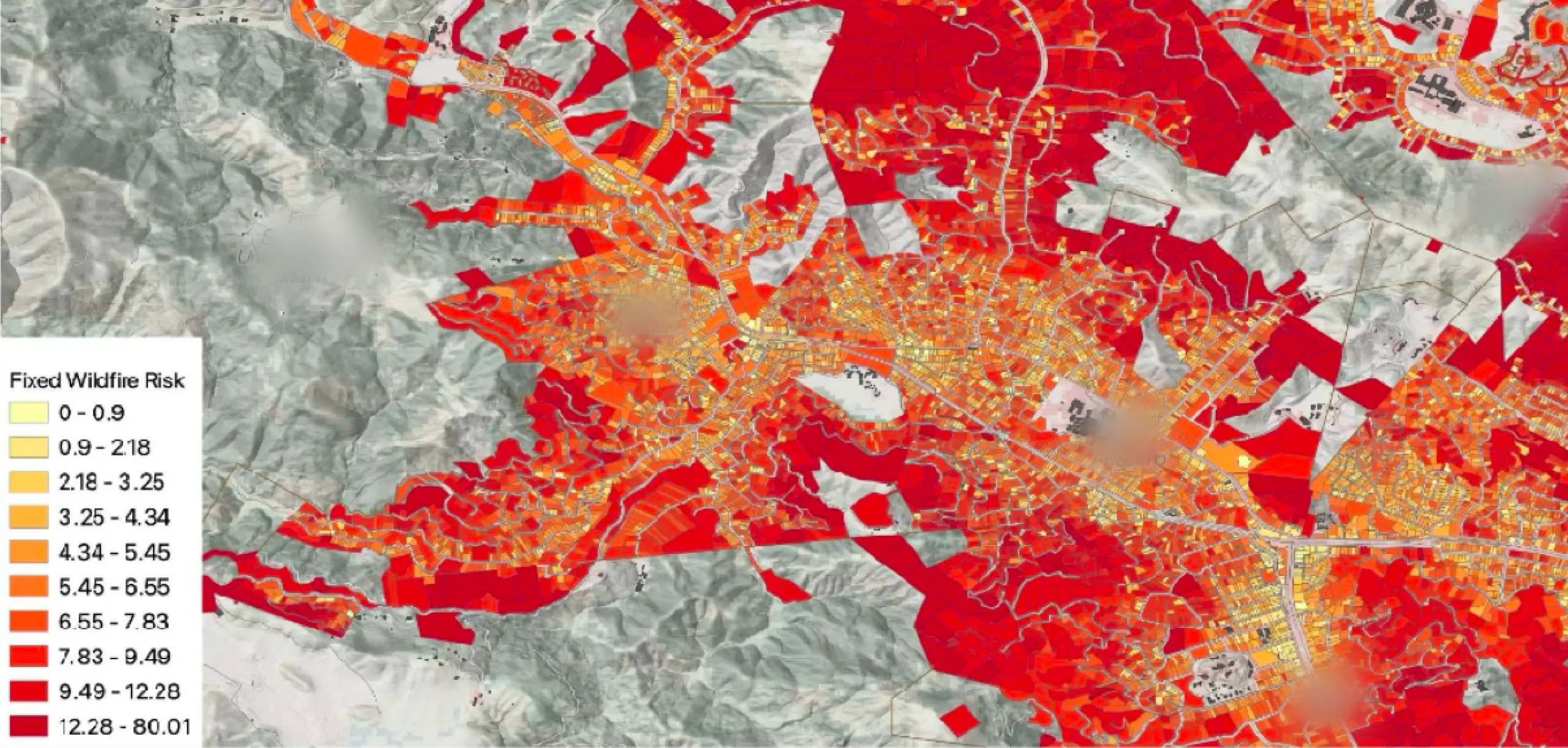
Detailed Data Improve Risk Models Which In Turn Improve Your Mitigation Investment Decisions.
Fire Aside partners with leading model companies to provide the best decision making tools to our communities.


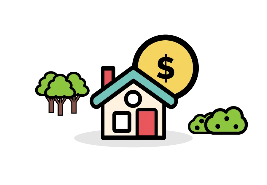
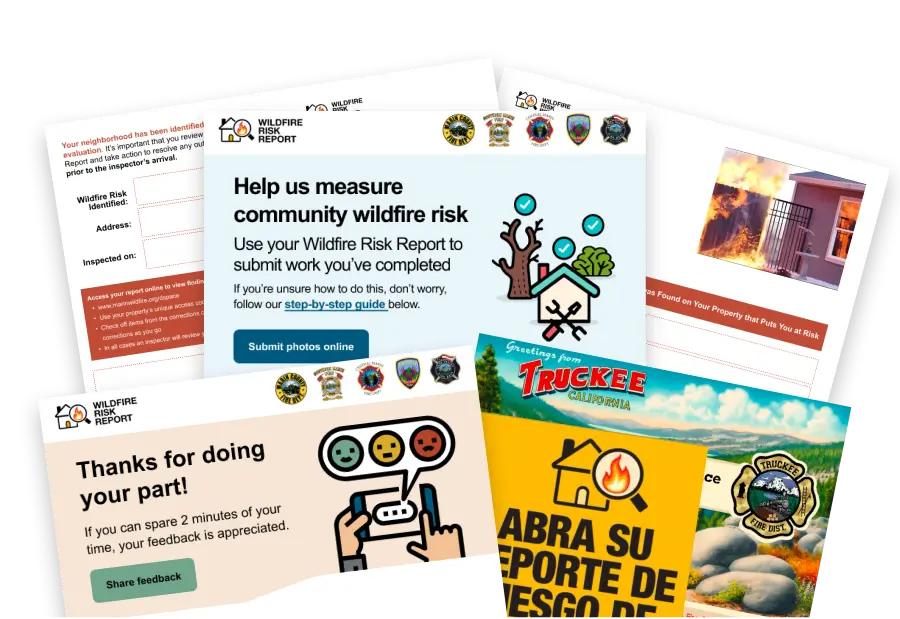
Help your community and your residents get credit for their mitigation efforts today.
This Benefits Agencies By:

Better planning on where to allocate resources
Sharing With stakeholders on how risk is changing community
.webp)